Software Screenshot:
Software Details:
Version: 120725
Upload Date: 17 Feb 15
Developer: Marco Negretti
Distribution Type: Freeware
Downloads: 18
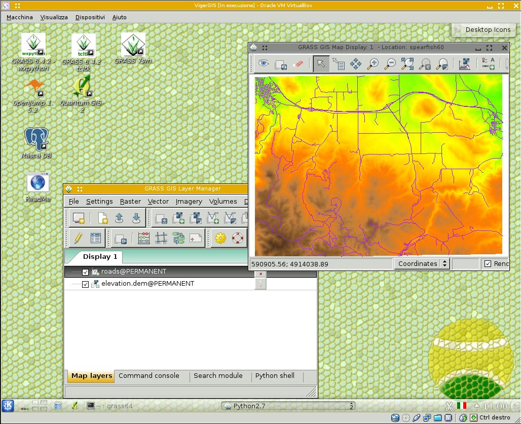
vigerGIS (VIrtual machine GEntoo Replace) is an open source, freely distributed and cross-platform virtual GNU/Linux operating system based on the powerful Gentoo Linux distribution and designed from the ground up to be used as a Geographic Information System (GIS).
Distributed as a virtual appliance in the VMDK format
The operating system is distributed as a virtual appliance in the VMDK (Virtual Machine Disk) file format, which includes several useful and open source GIS applications, such as GRASS, GRASS SVN, MapServer, OpenLayers, OpenJUMP, QGIS, as well as the PostGIS spatial and geographic objects for PostgreSQL, and the PostgreSQL database.The virtual machine image is compatible with the well known Oracle VirtualBox and VMware virtualization software. vigerGIS is a revamped version of the deprecated slaxGIS distribution, which was based on the Slackware Linux operating system. It is independent of a computer platform and can be easily deployed on 32 or 64-bit machines.
Getting started with vigerGIS
The VMDK file has approximately 2.5 GB in size, so you should start downloading it right away if you plan to use vigerGIS soon. While the file is being transferred to your computer, you should install one of the aforementioned virtualization software, preferably VirtualBox because it is free.Create a new virtual machine, select the “Use existing hard disk” options and select the vigerGIS-120725.vmdk file as the virtual hard disk. Then, start the virtual machine and use the “gis” username and the “viger” password to log into vigerGIS.
Comments not found