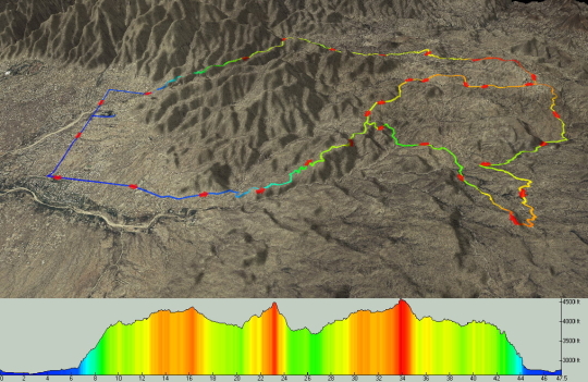
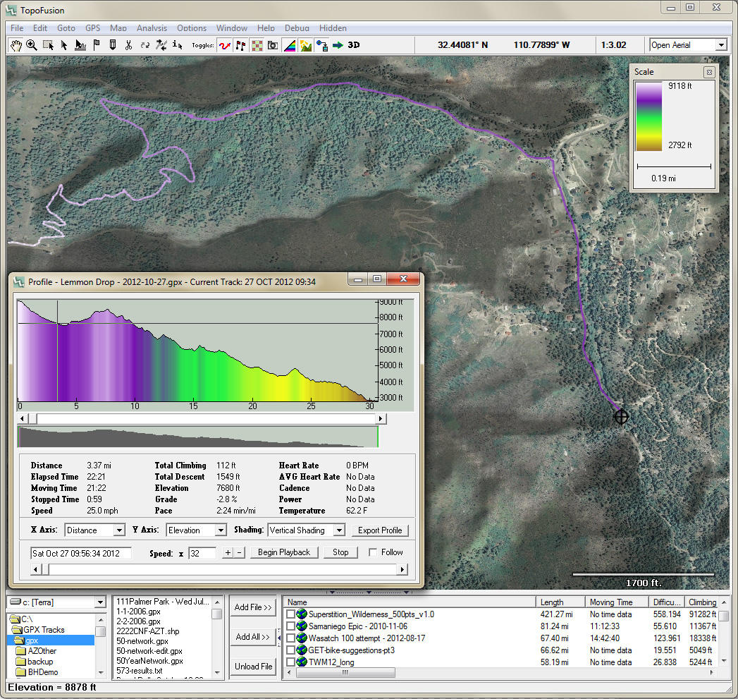
TopoFusion picks up where other mapping software like Google Earth left off. It offers powerful and easy to use GPS mapping and the best GPS track analysis features. Plot your GPS data on a host of imagery: topo maps, aerial photos, satellite images, and street maps. But that's only the beginning. Offers advanced features like PhotoFusion, track playback, elevation profiling and GPS training (heart rate, cadence and power).
What is new in this release:
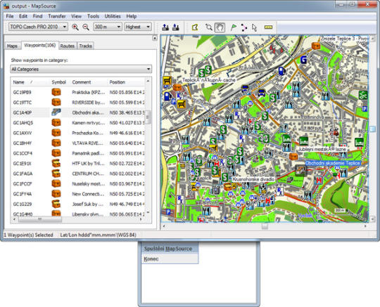
Version 5.6 adds new map types, such as up-to-date topo maps from myTopo, a Land Ownership blend mode, high res 3D downloads.
What is new in version 4.0:
Version 4.0 adds new map types, such as up-to-date topo maps from myTopo, Open Street Maps, and Open Cycle Maps.
Limitations:
Limited functionality
Comments not found