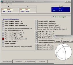
Software Screenshot:
Software Details:
Version: 1.0
Upload Date: 26 Jan 15
Developer: HolcombeCoughlinOliver
Distribution Type: Freeware
Downloads: 117
Size: 14 Kb
PolynodeExtractor is a MapInfo tool for extracting the X and Y coordinates and an optional Z value from the node locations of any point, line, polyline, or region object in an open Mapinfo table. Results are output to a text file selected by the user, using any of a number of common file data delimiters. The coordinates can be in the table's native projection or in a user selected projection. For line, polyline, and polygon objects the user can thin the selected nodes by setting a minimum buffer distance. The tool will NOT work with Query tables, Seamless tables, Raster Images, Read-Only tables, and tables opened via ODBC.
Requirements:
MapInfo 8.0

Comments not found