Software Screenshot:
Software Details:
Version: 2.0 Beta
Upload Date: 20 Feb 15
Developer: Juan Manuel de Hoyos
Distribution Type: Freeware
Downloads: 7
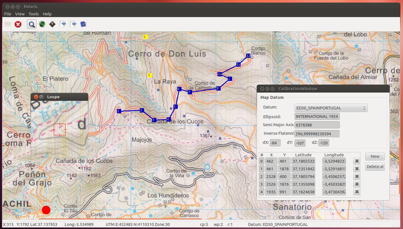
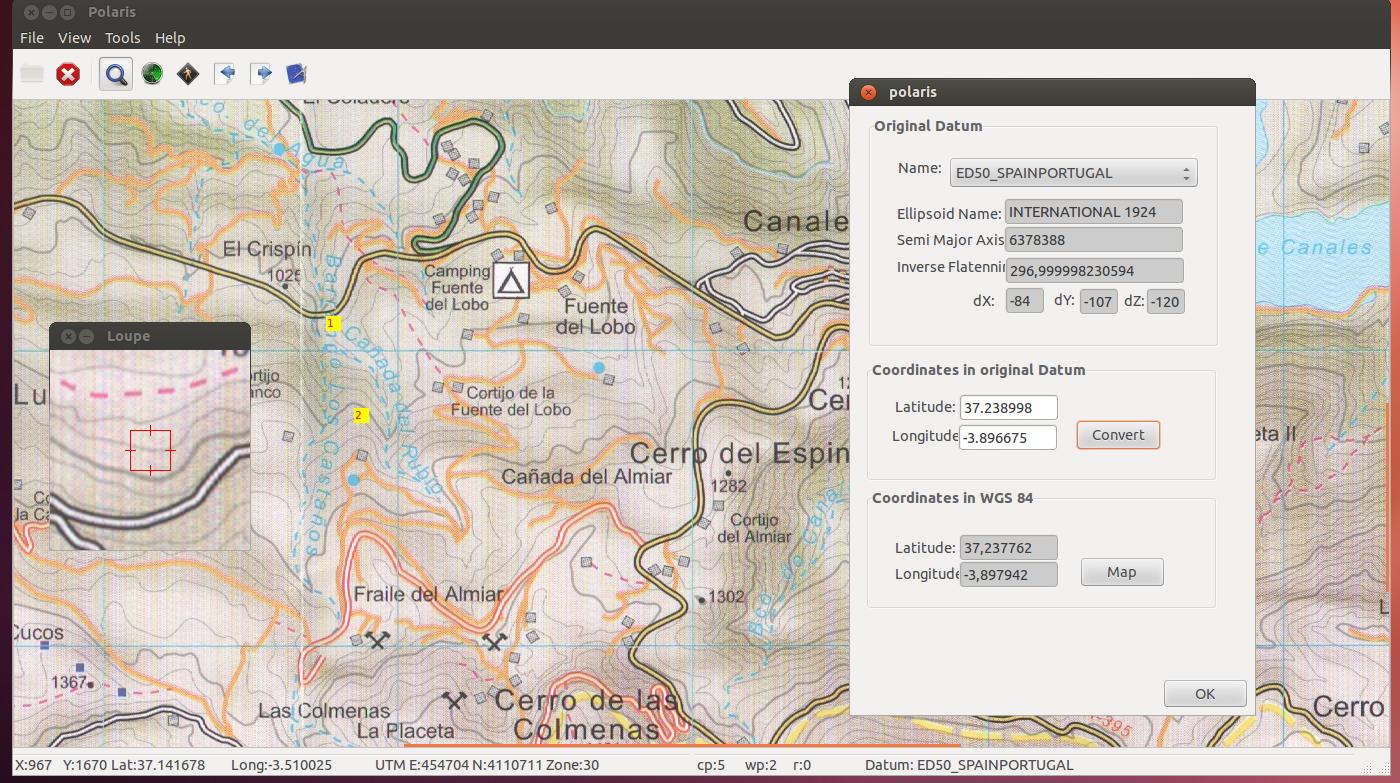
Polaris is a software developed as an accessible and small navigation and mapping utility that can work on multiple platforms, such as Linux and Windows.
Polaris is an open source project that allows you to calibrate a raster map and create waypoints / routes that can be later exported to PGX files.
Requirements:
- Mono Project
- Gtk#
Comments not found