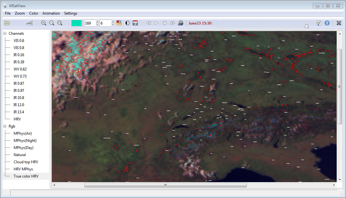
MSatView is the program for visualization and processing of the data from Meteosat Second Generation (MSG3 or Meteosat 10) geostationary meteorological satellite, targeted for mete orological monitoring.
The program is used for:
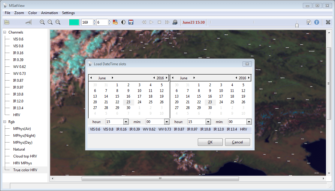
* Viewing all 11 channels in the IR and visible spectrum with maximum spatial resolution of 3 km and a visible channel of high 1km resolution
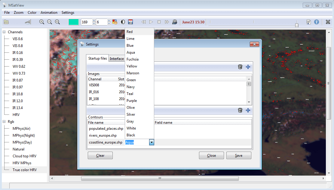
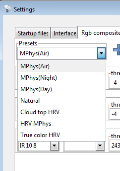
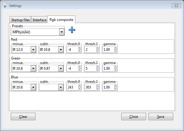
* Composing pseudocolor images, either by predefined or by user defined schema
* Combine an image and multiple vector layers (roads, hydrography, places ...) for making thematic maps
* Making an animation from sequence of pseudocolor images in order to visualize and study atmospheric phenomena
* On pseudocolor layers, select regions with similar colors
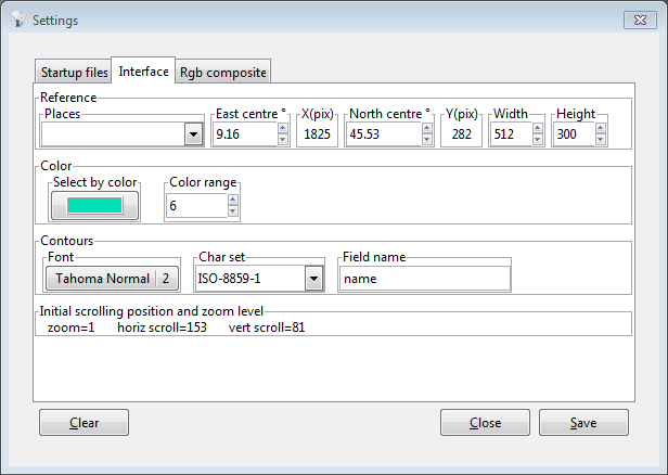
The program has simple,intuitive GUI, fast processing algorithms, intelligent design, all user customizations are saved into the ini-file and loaded at startup. It is free!
Comments not found