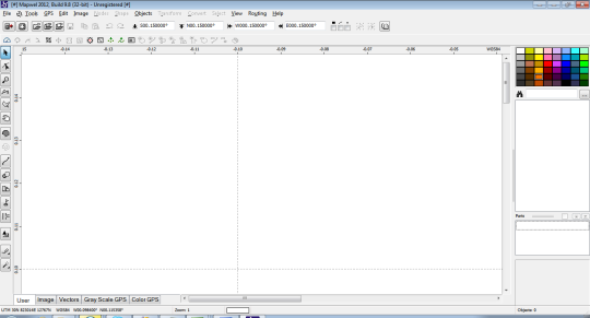
Mapwel supports routing, ESRI shapefiles, OpenStreetMap OSM, Google Earth KML and KMZ, cGPSmapper MP, and GPX files. Mapwel custom GPS mapping capability and user icons editor are often used in forestry, electrical engineering, geology, and geodesy. Creation of a GPS map involves Geo reference of raster images, drawing of the vector map, import of data from various file formats and online sources, conversion of the map data into the native format of the GPS and upload of that data into the GPS. Mapwel is the mapping software compatible with Garmin GPS units that allows the user to do the all above steps with a single software tool. Mapwel uses its own map compiler.
What is new in this release:
Version 2012 build 10 fixes import of waypoints and tracks from SD card.
Limitations:
Map is truncated in the demo version
Comments not found