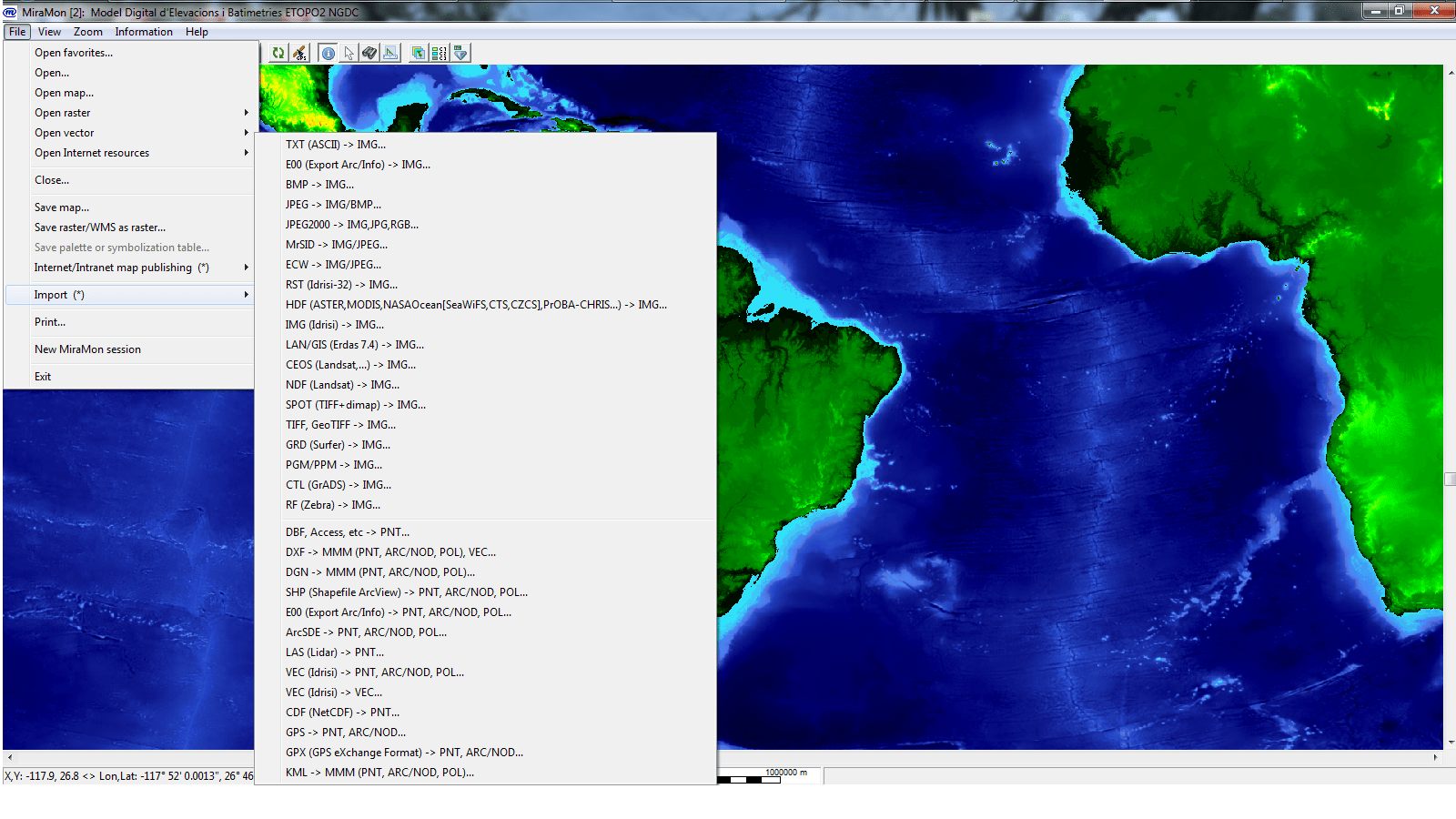
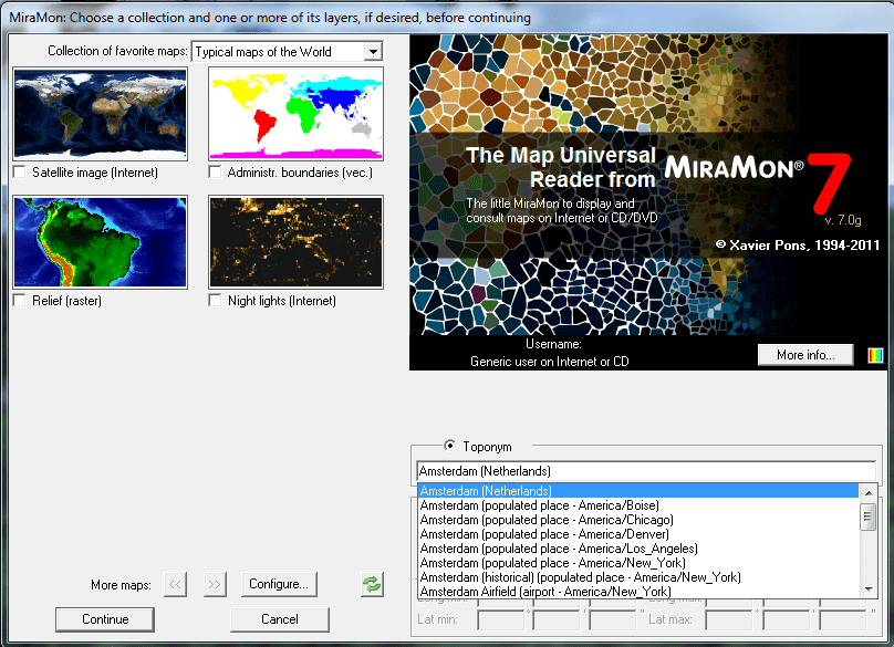
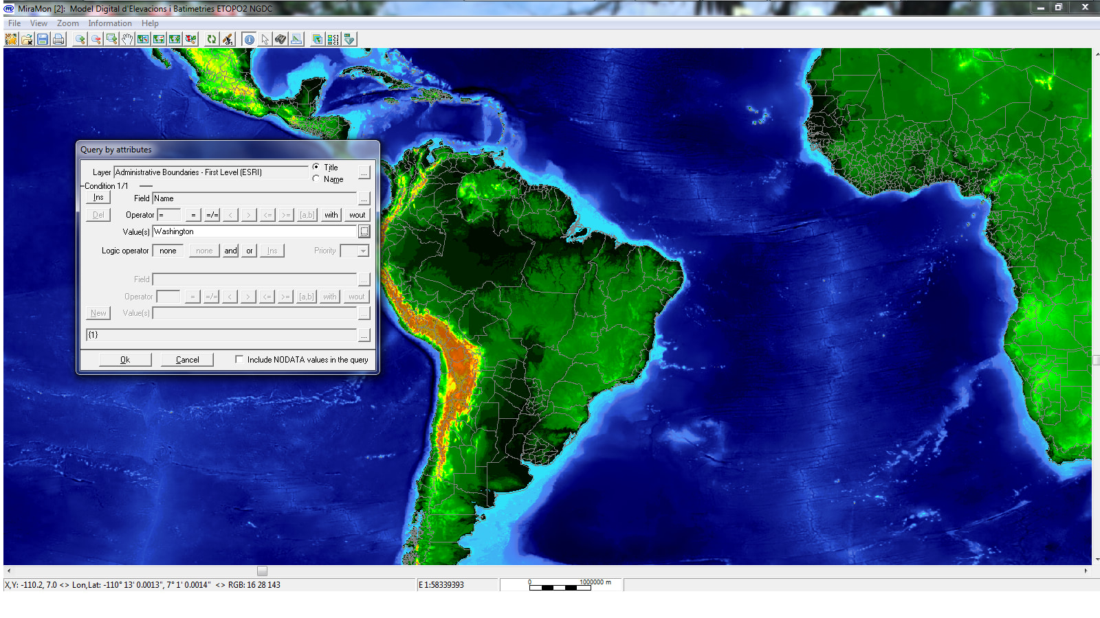
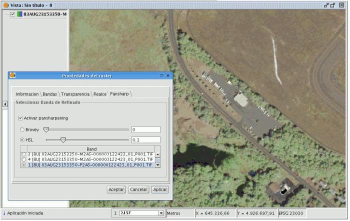
The MiraMon Universal Map Reader allows users to manage GIS data (vector, raster and WMS layers) coming from the most common GIS formats: SHP, DXF, TIFF, etc. It allows basic GIS functions as queries (by location or by attributte), complex visualization, measure distances, import from several common formats, GPS connections, complete metadata management, etc. comes with a set of predefined datasets for a number of geographical areas (world, Iberian Peninsula, Argentina, etc), ideal for teaching and self-learning.
There' s a User Forum page for users to perform queries about the software: http://www.miramon.uab.cat/fum/index.php
The MiraMon Universal Map Reader is more than a simple viewer as it can work with the most common GIS formats and perform sophisticated queries and visualization combinations. Users can also print their results. The ISO conformal metadata manager is, in fact, one of the most important issues that this product can offer.
Any GIS user, specially professionals and students over the world. This software can be used by non GIS experts but also by professional users who want an easy way to perform basic GIS functions. It is specially recommended for educational purposes.

Comments not found