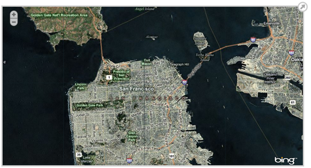
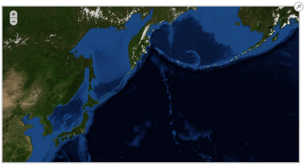
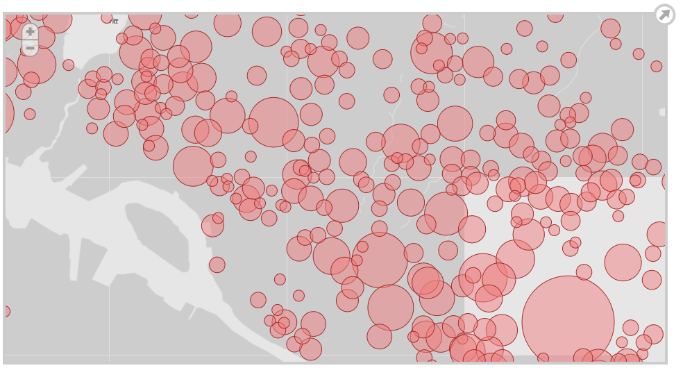
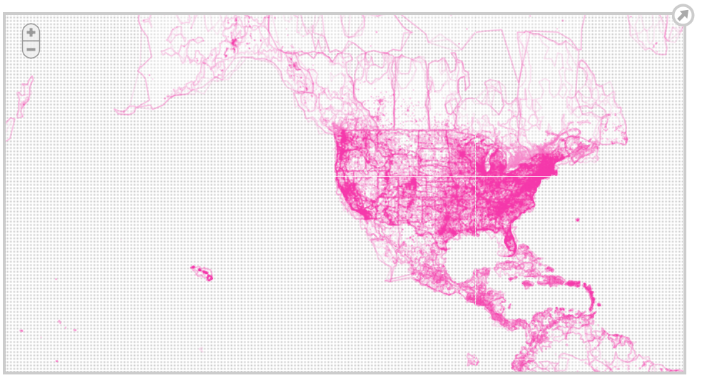
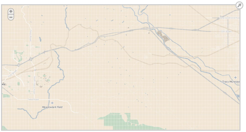
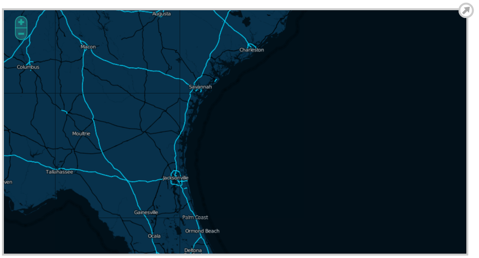
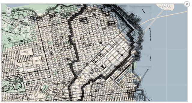
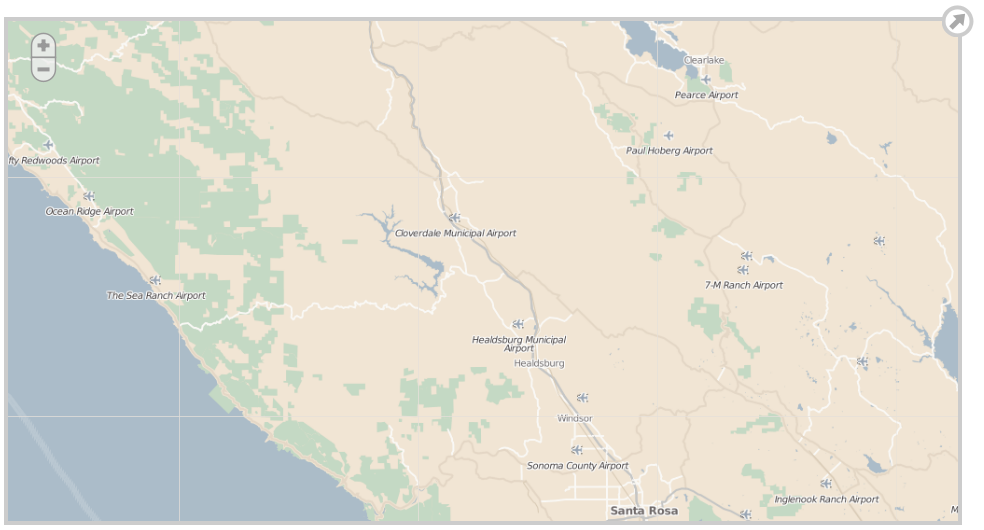
Software Screenshot:
Software Details:
Version: 2.5.1
Upload Date: 21 Jul 15
Developer: SimpleGeo and Stamen Design
Distribution Type: Freeware
Downloads: 144
Polymaps can even be used alongside JS libraries like jQuery.
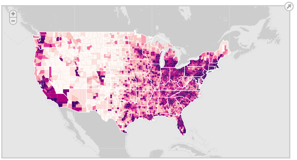
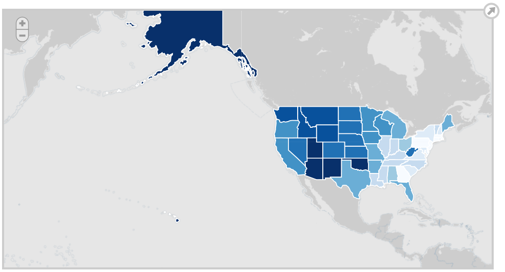
In addition to the usual cartography, t provides speedy display of multi-zoom datasets over maps, and supports a variety of visual presentations for tiled vector data.
Polymaps can load data at a full range of scales, being ideal for showing information from country level on down to states, cities, neighborhoods, and individual streets.
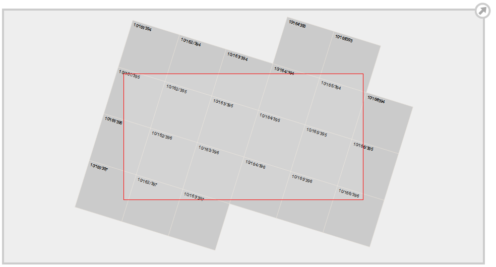
It also uses SVG (Scalable Vector Graphics) to display information.
Developers can use familiar, comfortable CSS rules to define the design of their data.
Polymaps uses the well known spherical mercator tile format for its imagery and its data, publishing informationata fast pace.
Features:
- Supported web mapping services:
- OpenStreetMap
- CloudMade
- Bing
Requirements:
- JavaScript enabled on client side
Comments not found