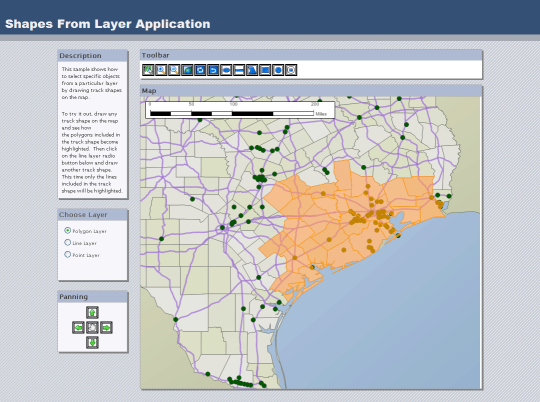
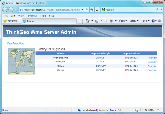
Software Screenshot:
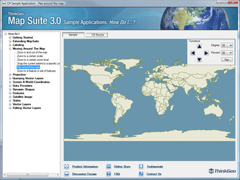
Map Suite Services Edition is a GIS development framework you can use to create spatially aware Windows services, Web services and console applications. Native to the Microsoft .NET Framework, Services Edition offers a next-generation GIS development experience with features like:
- Transmit images fast with Windows Communication Foundation (WCF); - Deliver imagery in standardized format with Web Map Service (WMS); - Use less code to accomplish more with the new streamlined API; - Supports Oracle Spatial, SQL 2008, PostGIS and ShapeFiles; - Customizable drawing system, data sources; - Includes over 90 "How Do I?" sample applications; - Enjoy royalty-free distribution of your project; - Professional online support, training videos and guides; - 1-Year Software Assurance Plan. Map Suite Services Edition's powerful GIS feature set includes spatial queries, projections, track shapes, GDI+ drawing, geometric functions, class break and value-based rendering.What is new in this release:
Version 6.0:
- Improved performance and memory usage
- Enhanced XML serialization
- Code Generator
- Layer transparency support
- Much more besides
Requirements:
Visual Studio 2008/2010, Microsoft .NET Framework 3.0
Limitations:
60-day trial
Comments not found