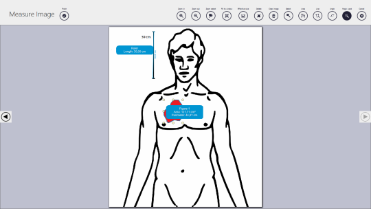
Depending on your necessities, you can select a straight line to calculate the distances between two points. If you want to measure distances between several points, you can add multiple segments and the app automatically calculates the distance.
The polygon can come in handy when you are looking to calculate the area or a perimeter of a roof, lawn, lake or any other object of interest.
Regardless of the measurement you want to make, you only need to choose the tool then click on the map - right-clicking the point offers you the possibility to delete them. You can move points or polygons by dragging them to the new location.
What is new in this release:
When drawing a "dragged" stipled line is shown.
Icons for Map Measurement have been created and applied
Introduced a drawing color, when the figure is beeing drawn
When dragging a polygon point the "Map" is stready now.
Select menu drop down drawing method is the whole ikon now.
Changed name from Aerial Measurement to KLONK Map Measurement also in code and assemblies.
It is possible to draw an area which is not a square
Search location field now working optimal.
Current drawing method menu selects the correct icon and makes this active.
Measurement tool looks aktive and not grayed.
Delete function from menu working properly
When hovering over a point for draggin it's easier to position, because it's point becomes transparent.
Requirements:
.NET Framework 4.5
Comments not found