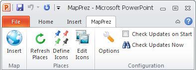
Software Screenshot:
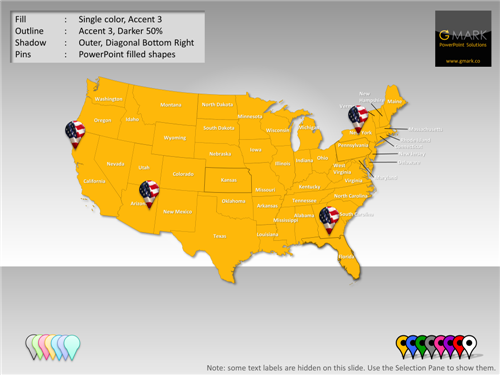
Interactive PowerPoint Map - World Edition is designed in PowerPoint, for PowerPoint. Insert them directly from the slide template and edit, delete, and add place names, edit map colors, outlines, fills, and effects, animate place names and countries, and resize maps without loss of resolution. And because all of the countries are PowerPoint shapes, you can even animate them to appear in a certain sequence of make them appear on the click of other objects on your slides.
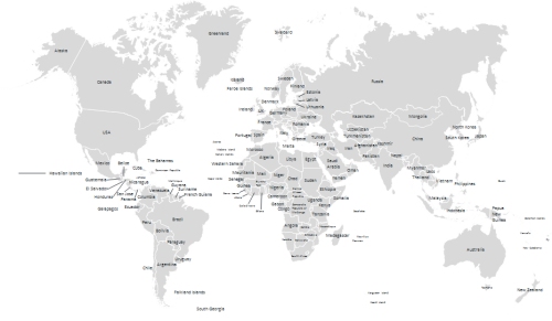
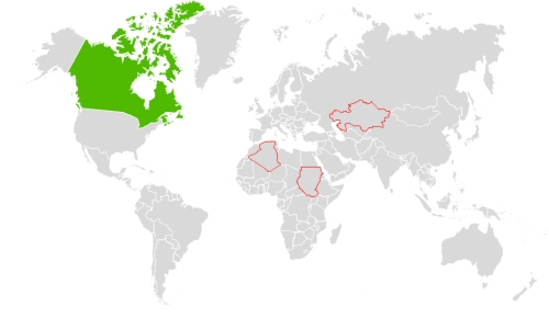
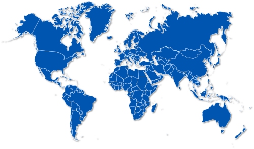
This map is delivered as a set of 9 slides, each containing active buttons that enable you to highlight a particular country. This may be retained, removed, or enhanced using the standard PowerPoint animation features.
Requirements:
Microsoft PowerPoint
Comments not found