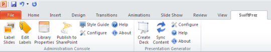
Software Screenshot:
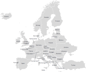
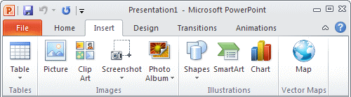
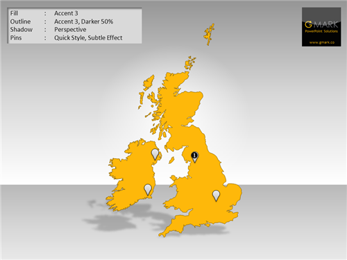
Interactive PowerPoint Map - Europe Edition is designed in PowerPoint, for PowerPoint. Insert them directly from the slide template and edit, delete, and add place names, edit map colors, outlines, fills, and effects, animate place names and countries, and resize maps without loss of resolution. And because all of the countries are PowerPoint shapes, you can even animate them to appear in a certain sequence of make them appear on the click of other objects on your slides.
This map is delivered as a set of six slides, each one demonstrating different types of editing capability and interactivity. This may be retained, removed, or enhanced using the standard PowerPoint animation features.
Requirements:
Microsoft PowerPoint


Comments not found