Software Screenshot:
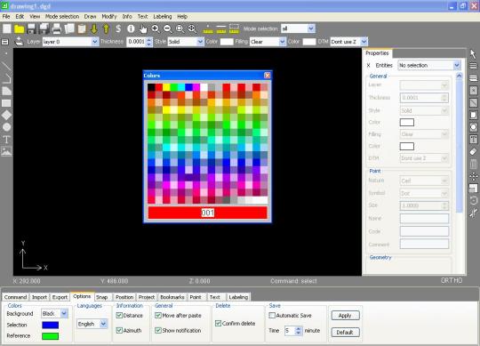
GroundCAD is a 2D CAD software for the land surveying and civil engineering. it runs on windows xp/7/8 ,linux and mac os. GroundCAD has a simple graphical interface to ensure the speed,simplicity and the efficiency. GroundCAD supports many standard formats like : Ascii file(txt/csv) Autodesk dxf(ascii R12) Leica(gsi 8/16) Sokkia(sdr33) Topcon(fc4/gts7/xml/landxml) Google(kml)...
Limitations:
Free full version
Comments not found