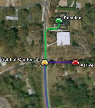
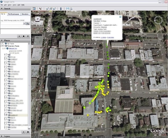
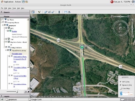
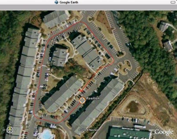
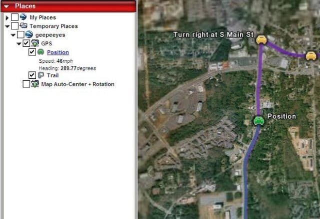
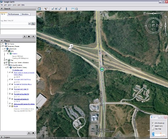
Geepeeyes is a unique tool that brings together two of the most powerful navigational tools available - GPS and Google Earth.
The result is the most detailed GPS maps you've ever seen. The good thing is that it doesn't even require you to upgrade to the premium versions of Google Earth to use it. Normally, GPS support is only available on the Plus and Pro editions of Google Earth, and it is limited to Garmin & Magellan devices. GPS and Google Earth fans will genuinely love the way that you the program allows you to look at routes and locations for real instead of plain road maps. The great thing for someone who's terrible with maps, like me, is that you can use buildings and reference points to direct you instead with geepeeyes. Asa result, wrong turns, missing street names or the absence of reliable directions are much less of a problem than they used to be. Even if you don't use it for navigational purposes, it's fun just to watch the maps unveil before you. The only problem you may encounter is that it is prone to bugs due to the fact that it is still in beta testing phase.
A classy little utility that will save you hours getting lost not to mention the money you'd have to spend on Google Earth to support this sort of thing normally.

Comments not found