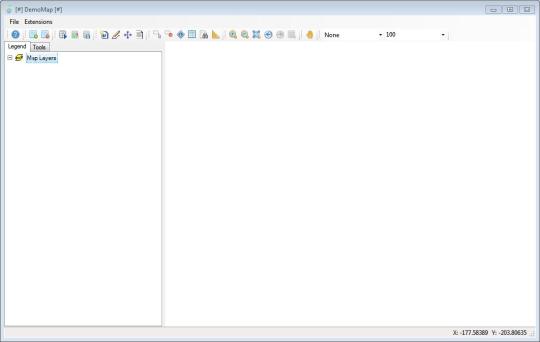
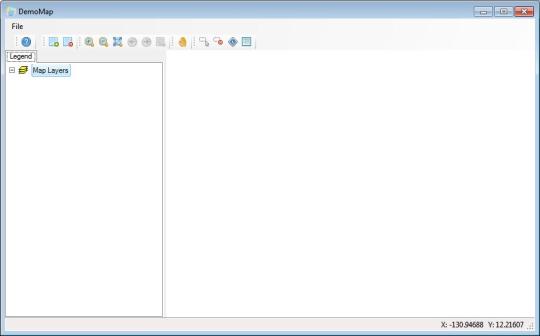
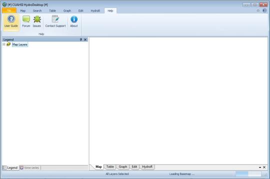
Software Screenshot:
Software Details:
Version: 1.4
Upload Date: 26 Jan 15
Developer: Ddanames Team
Distribution Type: Freeware
Downloads: 46
Size: 31940 Kb
DotSpatial is a geographic information system library written for .NET 4. It allows integrating analysis and mapping functionality into the applications or to contribute GIS extensions to the community. DotSpatial provides a map control for .NET. Features include display a map in a .NET Windows Forms or Web application, open shapefiles, grids, rasters, and images, render symbology and labels, reproject on the fly, manipulate and display attribute data, scientific analysis, and read GPS data.
Requirements:
Microsoft .NET 4.0
Comments not found