Software Screenshot:

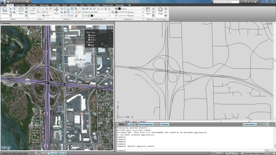
Automapki application brings web mapping and commonly available satellite imagery to AutoCAD software. Our Automapki AutoCAD application allows to display your project and working area over your favourite web mapping source, either Bing Maps, Google Maps, Yahoo Maps or Open Street Maps. It works with standard AutoCAD and any vertical product, supports over 3000 coordinate systems and allows the whole global AutoCAD users community to stylize drawing entities with the selected web mapping provider.
What is new in this release:
Version 1.3.3 fixed AmShowBrowser command to show hidden floating Automapki maps browser palette in BricsCAD V13.
Requirements:
ZWCAD, AutoCAD, or BricsCAD Pro version V11 and higher.
Limitations:
10-day trial
Comments not found