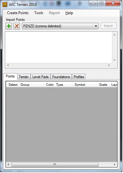
Introducing you AEC Terrain interface which is designed to simplify terrain management and 3D-modeling. AEC Terrain creates Digital Elevation Model from multiple input point files on AutoCAD graphic editor. All purpose multi-level pads, road alignments, mining applications and airfields can be generated on the terrain on different layers with different slope parameters for CUT and FILL The mechanism of AEC Terrain interface is very simple. As we know Terrain is representation of a surface derived from irregularly spaced special points and the Triangular Irregular Network (TIN) model represents a surface as a set of contiguous, non-overlapping triangles using Delaunay Triangulation. These triangles are made from a set of points called mass points. These mass points shall be the input through CSV/Excel Files.
Requirements:
.Net Framework 2.0, AutoCAD 2004 through AutoCAD 2010
Limitations:
1-day/7-use trial
Comments not found