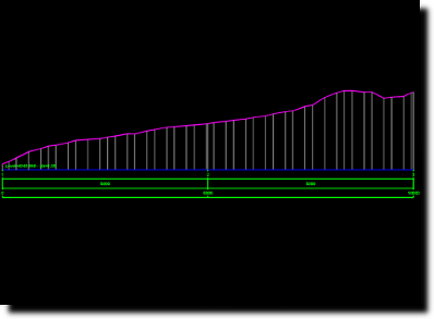
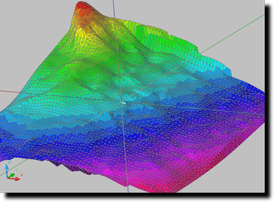
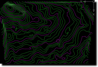
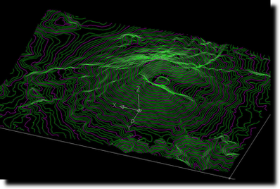
Topo features a series of CAD tools that enables processing of digital landscape, cross-sections and contour lines for land survey works. Topo comes as an AutoCAD plugin and it is not designed to function as self standing software. Please note that VBA Module are required by this add-on, therefore an AutoCAD LT version is not adequate for installing and running this add-on. Some of the Topo's key routines include: - Draw a scaled grid for plan plotting - Import points from ASCII (simple text) 3D coordinate file - Export coordinates to ASCII in Cartesian or polar coordinate system - Form the Triangular Irregular Network (TIN) of a survey site - Manual handling and correction tools for TIN elements - Produce analytical area calculations and draw calculation formulas on drawing - Produce a cross section of the landscape - Produce contour lines of the site. Also includes a series of useful CAD tools: - Scaling tools for raster images and 3D objects - A series of text manipulation tools - Measurement tools - 3D object manipulation Future work on this project will allow an advanced version that allows: - Volume measurements - Road design
What is new in this release:
Upgraded compatibility with x64 systems and AutoCAD 2014 and newer. On line trial & registration system introduces,
Requirements:
AutoCAD, VBA Module
Limitations:
30-day trial
Comments not found