Software Screenshot:
Software Details:
Version: 1
Upload Date: 14 Dec 14
Developer: Euratlas Nussli
Distribution Type: Shareware
Price: 18.67 $
Downloads: 13
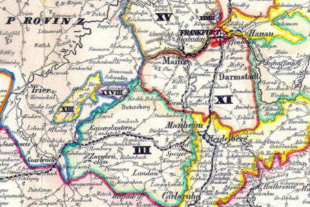
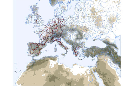
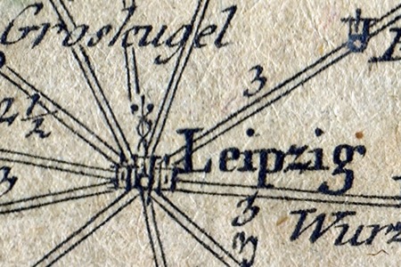
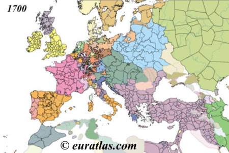
This is a digital copy of an ancient map of the German lands and the neighbouring countries showing all the post-roads and railroads in 1852. The legend inserts are giving detailed information about the timetables, the population of the German States, the main currencies rates and the European spas. A key document in the study of tourism. Main Features - 1 high-resolution map of 7441 x 8760 pixels x 300 dpi in .jpg format. - 1 low-resolution map of 2381 x 2803 pixels x 96 dpi in .jpg format. - 1 table of the 19th century European spas. - 2 tables of the 19th century gold and silver currencies. - 1 table of main European exchange rates in 1852. - Real size of the main original map: 63 cm x 74 cm.
Limitations:
Limited functionality
Comments not found