SAGA (System for Automated Geoscientific Analyses) GIS (Geographic Information System) is an open source, cross-platform and free graphical and command-line software that has been designed for an effective and easy implementation of spatial algorithms.
Features at a glance
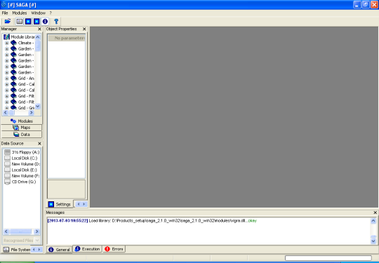
The project boasts an object-oriented system design, provides a comprehensive and growing collection of geoscientific methods, a modular structure that allows you to develop framework-independent functions, as well as a convenient and easy-to-use GUI (Graphical User Interface) that features intuitive data management support and numerous visualization and analysis options.
Among other features, we can mention support for over 450 functions for geographical data analysis, support for terrain analysis, scripting via command-line supporting the Java, Python and R programming languages, cartographic and georeferencing projections, geographical statistics, image analysis, vector tools, a powerful API that offers great support for geodata handling.
In addition, the software comes pre-loaded with several vector tools, including buffer zones, raster to vector conversion and clipping, numerous terrain analysis tools like classification, morphometry, illumination and hydrology, a wide range of image analysis tools, such as OBIA (Object Based Image Analysis), FFT (Fast Fourier Transform), PCA (Principal Component Analysis), supervised classification and filters.
Several geostatistics functions are also provided, such as universal and ordinary Kriging, GWR (Geographically Weighted Regression) and variograms, as well as grid interpolation of scattered point data, splines, triangulation and IDW (Inverse Distance Weighted).
Under the hood and supported OSes
The software is written entirely in the C++ programming language and uses the wxWidgets framework for the graphical user interface (GUI). It has been designed from the offset as a cross-platform software that supports the GNU/Linux, FreeBSD and Microsoft Windows operating systems. Both 64-bit and 32-bit hardware platform are supported at this time. It is available for download as a universal sources archive, as well as a pre-built binary package for all GNU/Linux OSes.
What is new in this release:
- This is a pure bug fix release removing some nasty problems from the previous release version!
What is new in version 2.2.6:
- This is a pure bug fix release removing some nasty problems from the previous release version!
What is new in version 2.2.4:
- Besides our usual work on bug fixes and feature requests, we have done some major efforts on certain GUI functions. For instance, you can add a base map from Open Street Map server to your maps in SAGA. The map export to Google Earth ('Save as KMZ') is now simply stored to your temporary directory, if you don't specify an output file. And you can change parameter settings for more than one data set simultaneously, if you selected multiple data sets of the same type. These and more new features are just waiting to be explored by you!
What is new in version 2.2.2:
- Slight improvements have been added to the ArcSAGA Toolboxes. Please give it a try if you have access to ArcGIS version 10.1 or higher and let us know about your experiences. We spent also some efforts for a better, more intuititive interaction with PostgreSQL/PostGIS databases. You might note that SAGA project files now support database sources as well as various non-native SAGA raster file formats (the latter does not yet work for raster files providing more than one single band).
What is new in version 2.2.0:
- This release is mainly a bug fix release.
What is new in version 2.1.4:
- This release is mainly a bug fix release.
What is new in version 2.1.2:
- For this version some efforts have been made to make the graphical user interface more smooth and user friendly. New features include the display of a North arrow, scale bar, and geographic coordinate grids for map views. Enhanced options for interactive vector data editing have been added. Modules are now generally addressed as 'tools' and the modules menu has been renamed to 'Geoprocessing'. Besides this many bug fixes could be applied and you will also find a number of tools, which for sure will be quite interesting for some of you. For example a complete tool set focusing on slope stability has been contributed by Andreas Guenther.
What is new in version 2.1.1:
- This version depends on wxWidgets v3.0.
Requirements:
- wxWidgets


Comments not found