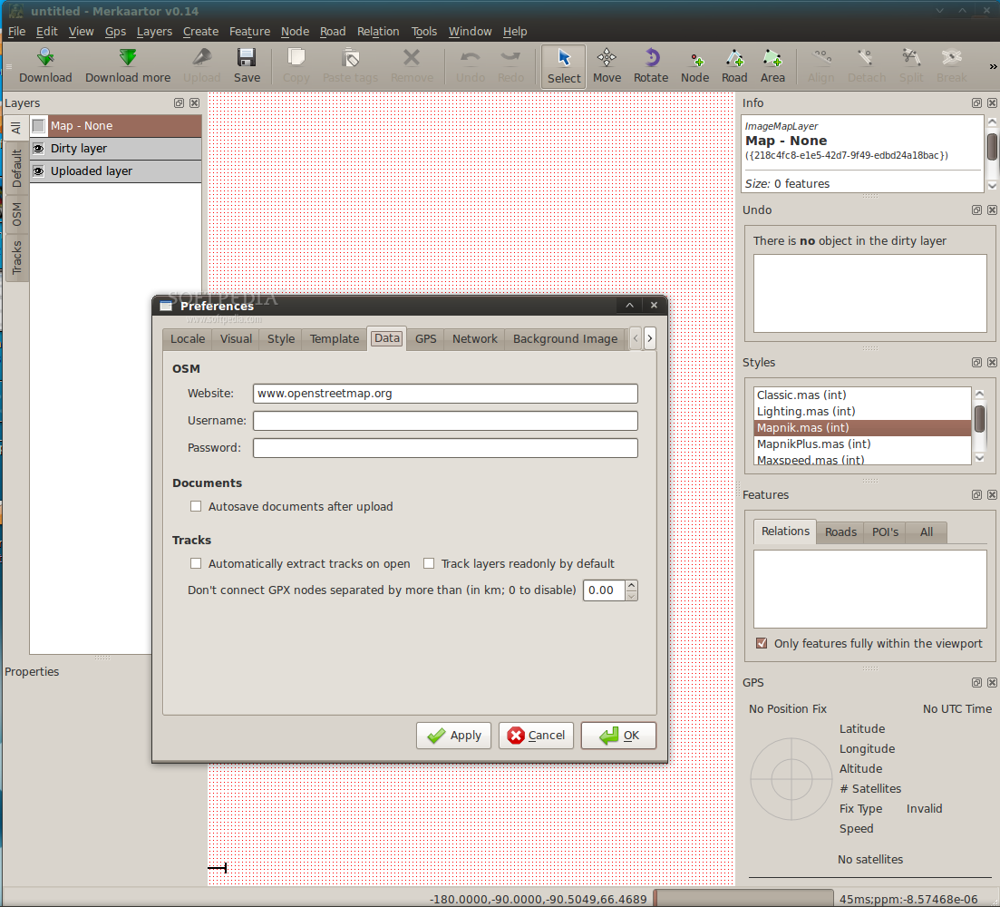
Software Screenshot:
Software Details:
Version: 0.17.2
Upload Date: 12 May 15
Developer: Bart Vanhauwaert, Chris Browet and oth...
Distribution Type: Freeware
Downloads: 31
Merkaartor is an openstreetmap mapping program. It focuses on providing a visually pleasing but performant editing environment for free geographical data. Check out some of our Screenshots or Download the latest version to try it out for yourself!
What is new in this release:
- FIX : Crash when using TMSes
- FIX : probable fix for remote control crashes
- FIX : Harden Filter Editor (fixes #3247)
- FIX : Unblock indexing after an aborted doawnload, too (fixes #3248)
- FIX : crash with --ignore-preferences
- FIX : Crash when creating a tag template based upon an empty one (fixes #3250)
What is new in version 0.17.0:
- ADD : Allow to align background image with +pan
- ADD : Network timeout preference
- CHG : Paste Tags : Allow anyany pasting but only takes top level features into account (fixes #3174)
- FIX : When loading history from MDC, do not import the command if the layer is not found + save layers dirty level in MDC (fixes #3176)
- FIX : Locked zoom was bugged since passage to real pixel per Meter (fixes #3175)
- FIX : Allow creating a way in non-separate move mode with a virtual node selected (fixes #3172)
- FIX : Revert to custom icon for move interaction on MAC (fixes #3170)
- FIX : GeoTIFF + GDAL backgrounds: Allow to specify an automatic "source" tag via the plugin menu
- ADD : Bing Maps plugin
- FIX : GDAL + GeoTIFF : if a ESRI World File (.tfw, *.wld) is present, override file geotransform
- FIX : GDAL + GeoTIFF : if the projection cannot be determined, ask for it rather than fail
- ADD : Printing: Add option to show/hide unstyled features
- FIX : Cannot access TMS servers that Min-zoom equals Max-zoom (fixes #3157)
- ADD : GDAL raster background plugin
- FIX : WMS Editor - Handle Styles properly
- ADD : Explicitely add GML to the list of supported format (via GDAL)
- ADD : Bicycle style by Markus Straub
- ADD : Styles : allow to texture areas with an icon
- CHG : When opening/importing, always fallback to GDAL if available. Allows to open most GDAL supported geomtery files.
- ADD : Vector map layers
- ADD : Allow "[*] is xxx" (or "*=xxx") construct in tag selection. Means a feature match if any of its tags has xxx as a value (fixes #3146)
- ADD : Do not allow to delete OSM nodes in non-downloaded areas (refs #3083)
- ADD : Save the downloaded areas in the MDC. Expired after 12h.
- ADD : Allow to specify the Nominatim url in preferences
- ADD : French Cadastre plugin
- FIX : Infloop on next/previous image when none visible (fixes #3135)
- CHG : Do not wait for "CLOSE changeset" response
- ADD : Provision for a license term url to be agreed for map backgrounds
- ADD : Proper User-Agent for network requests
- ADD : Auto-add "source" tag when drawing over a background map; define the value in the WMS and TMS editors
- FIX : Filter out invalid value for first Tag list column width (fixes #3129)
- FIX : Remove tags from autocomplete suggestions when cleared from features (fixes #3113)
- ADD : Allow to start merkaartor with a document template specified in preferences
- CHG : Layers & View settings are now saved in a $HOME/Startup.mdc document rather than thru QSettings
- ADD : New CL options: "--ignore-preferences" && "--reset-preferences"
- FIX : Re-enable PgUp/PgDown in Geoimage dock (dock must be focused) (fixes #3126); coincidentaly, PgUp/PgDown for zooming only works when the map view is focused.
- FIX : If a document cannot be saved (e.g. is readonly), propose the "save as..." dialog (fixes #3125)
- CHG : Split Rotation interaction between pure rotation and scale
- ADD : When creating a way or area, press "P" to snap the current segment as a parallel of the closest existing segment with the same general direction
- ADD : Extrude interaction for ways (JOSM style)
- ADD : When creating a way or area, press "C" to close the current way
- FIX : remove dependency on GDAL data files when importing OSGB36 shapefiles + correct projection (closes #3119)
- ADD : New preference: "Allow node/way creation in select mode". When checked, allows double-click to create a node and double-click on a node to start a way in select mode.
- ADD : When drawing ways, double-clicking finishes the current way (Potlach/JOSM style)
- ADD : Way segments: Keeping ALT depressed allows to move way segment
- ADD : In Road creation mode, double-click creates a new node
- ADD : Hardcoded PgUp/PgDown for Zoom in/Zoom out (Potlach style)
- ADD : Snap to angle functionality when creating way: keeping "o" pressed snap to 45
Comments not found