Software Screenshot:
Software Details:
Version: 1.1
Upload Date: 14 Dec 14
Developer: Euratlas Nussli
Distribution Type: Shareware
Price: 216.60 $
Downloads: 37
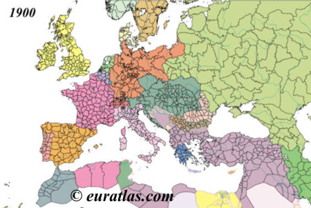
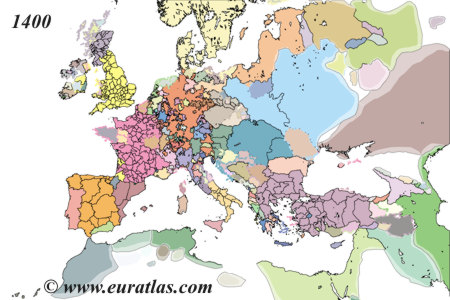
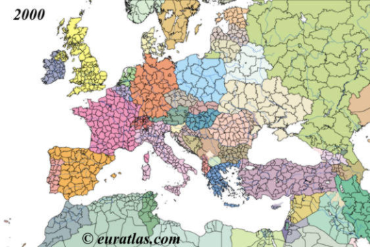
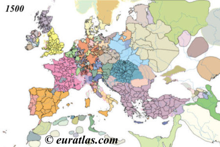
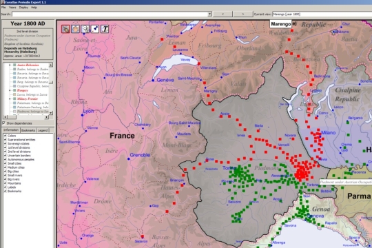
The maps used for the Euratlas Historical Atlas of Europe cover the Earth's surface from the degree 15 west to 50 east, and from degree 20 north to 60 north. They describe the political situation of this area at the first day of each centennial year C.E. from year 1 to 2000. These maps have been improved and redrawn in 2008 and are available as shapefiles data which can be analyzed and organized spatially with a GIS software. This is map 1900.
Requirements:
Geographic Information System (GIS) software required, for instance Open Jump, Map Window or Arc GIS.
Limitations:
Data access limited


Comments not found