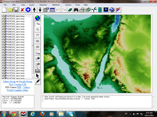
The GIS, the Earth's features are not only represented in pictorial form, as in conventional paper maps, but as information or data. This data contains all the spatial information of conventional maps, but when stored in a computer, is much more flexible in the way in can be represented. Spatial data in a GIS can be displayed just like a paper map with roads, rivers, vegetation and other features represented as lines on a map complete with legend, border and titles, or it can be represented as a set of statistical tables, which can be converted to charts and graphs. The most important feature of GIS is that spatial data are stored in a structured format referred to as a spatial data base. The way spatial data are structured will determine the how easy it is for the user to store, retrieve and analyze the information.
What is new in this release:
Version 4.69 may include unspecified updates, enhancements, or bug fixes.

Comments not found