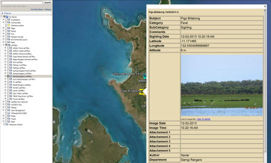
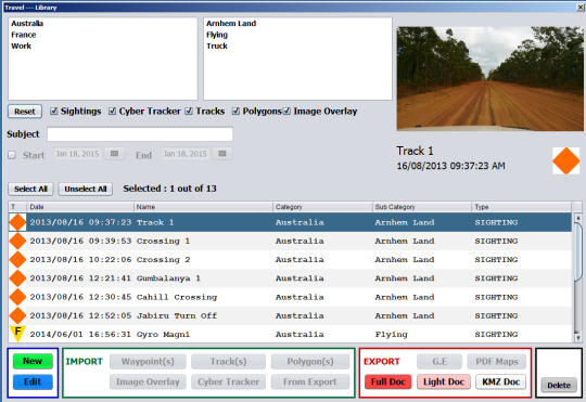
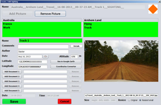
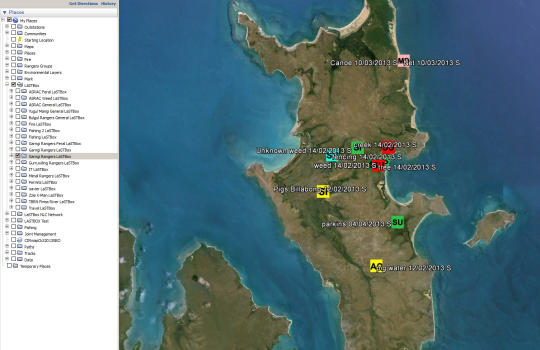
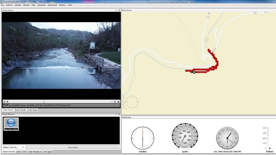
Software Screenshot:
Software Details:
Version: 1.4
Upload Date: 14 Feb 15
Developer: Land Air Sea IT
Distribution Type: Freeware
Downloads: 82
Size: 23444 Kb
A Simple Google Earth GIS Library Management Software. - Import Data (GPS Photos, Tracks, Polygons) from different sources into specific libraries. - Manage Data - Sightings, Tracks, Polygons. - See all Data on Google Earth. - Share Data within your network. - Share selected Data with stake holders and outsiders. - Report to Microsoft Word program. - Take selected data with you out in the field. - Knowledge bank for new staff.
Requirements:
Java
Limitations:
Limited to 6 Libraries and 50 Sightings per library
Comments not found