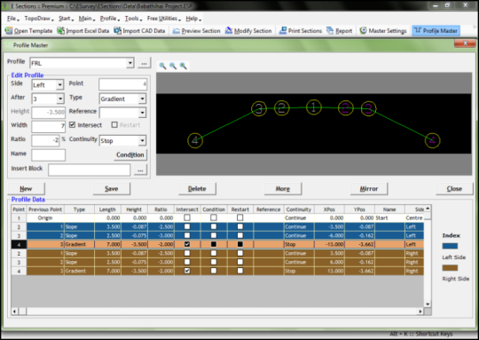
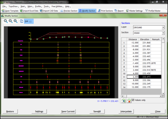
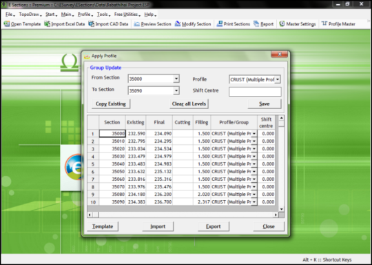
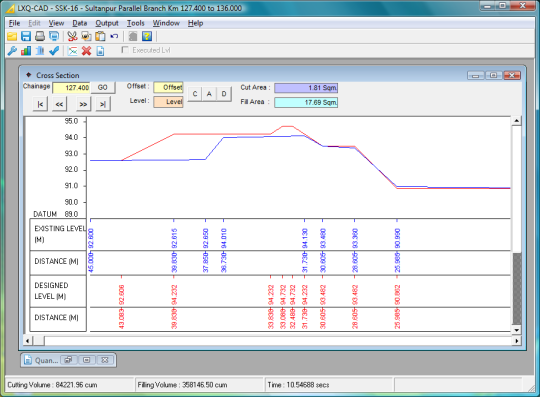
"ESurvey Sections" is a complete Section Creation and Management Solution designed to help engineers, surveyors and designers to create industry standard drawings and to generate instant calculation reports related to Road / Railway lines / Irrigation / Pipeline design / Water Network Project.It is a complete software solution for generating sections, converting point data into drawings and interpolating available data to generate drawings. Importing Data: Import data from Excel for Generating Cross Section and Longitudinal Section Drawings Import Alignment data from CAD Import data from Field Book Extensive Section Settings: Change properties like Colour / Height / etc. for all the elements of a section Print Graph and Projection Lines Print Header / Footer with Scales View Sections in different Horizontal / Vertical Scale Font properties for section elements Profiles: Design Complicated profiles and shapes for various requirement like irrigation, roads, railway etc Edit Profiles for specific Sections Inserts CAD blocks at given point of profile Create Multiple Profiles Area/Volume Calculations: Generate Area / Volume Report in Excel and CAD using either of Three methods Trapezoidal (End Area), Simpsons 1/3rd Rule or Nett Area Method For area calculation use advanced techniques such as extend / extrapolate or join ends Optionally print area calculation below the cross sections Print area between multiple layer in Table Format Printing Sections: Plot sections on your own drawing templates and export to CAD package Alternatively print the ESurvey Sections from within the package Exporting Section: Export Section data to Excel Export Section data back to CAD along an alignment Export Multiple Cross Sections as different Drawings Export toe points to excel to verify from total station Curve Design: Design Horizontal Curve Design Vertical Curve Super Elevation Road Widening Curve with optional Transition Lines.
Limitations:
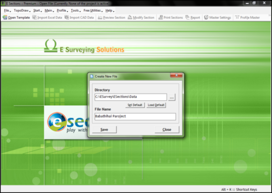
1-month trial
Comments not found